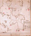
 Map of the canon batteries of 1855.
Click for a bigger image.
Total map coverage of the fortification areas (see the lower maps there).
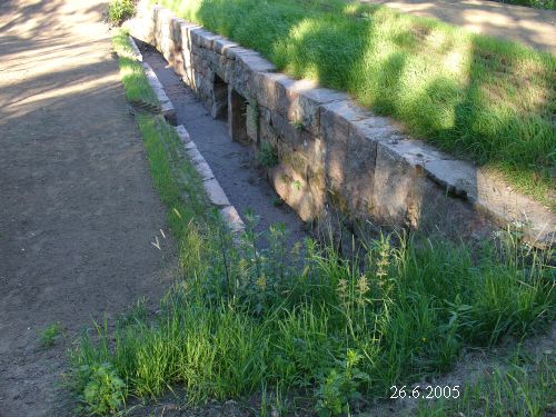
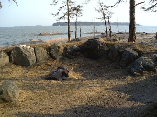 A parapet from the Crimean war in 1854.
There were in all 30 infantry parapets built on the island. Furthermore an optical telegraphy station was set up on the island as part of the chain of stations along the northern coast of the Gulf of Finland.
When the new fortification work began in 1885 the batteries were mostly built on the old ones. A set of nine batteries were set up on the island consisting of 26 mortars and in the western part of the island 20 cannons. Even an electric light projector with a power generating 'locomotive' was a part of the defense installations. The shooting sectors were kept clear by cutting the trees and other vegetation.
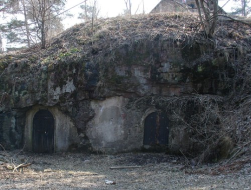 An ammunition storeroom from 1885.
 Projectiles and powder were lifted up to the cannons with an elevator. The partly visible structure on the top is the upper part of the ventilation shaft. There are no installations inside the storeroom.
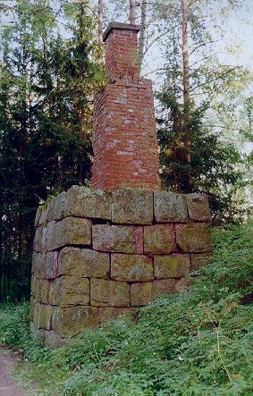 The pedestal for a distance measuring device from 1885.
Originally the top was surrounded by a wooden housing.
 A rampart in a cannon battery from 1885.
 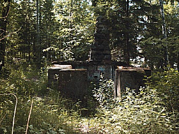 On the western tip of the island
 there are remains of a cannon
battery from 1914.